
Virtual reality · Google · 2017
Google Earth VR
Letting someone hold a planet without making them motion sick — scale, locomotion, and the vocabulary of flight.
Defining the problem
Teleportation kept people oriented. It also kept them disconnected — and afraid of heights the moment they let go.
VR had no established design patterns yet: new controllers, new displays, and a dataset built for desktop and mobile that suddenly had to work at any scale, from a city block to a planet. Teleportation was the default way to move through virtual space at the time, but our study participants lost their bearings every time the scene cut.
We replaced it with flying and dragging instead. That fixed the disorientation, but it surfaced two new problems: a fear of heights once people found themselves hundreds of feet in the air, and simulator sickness whenever the world moved while the body stood still.
Process
We brainstormed and prototyped alongside engineers, then evaluated with think-aloud usability studies and cognitive walkthroughs — plus dedicated ergonomic studies to get UI angular size and placement right for a handheld laser pointer.
Scale to comfort
Dynamically scale the player to keep their feet on the ground, at any elevation, to defuse the fear of heights.
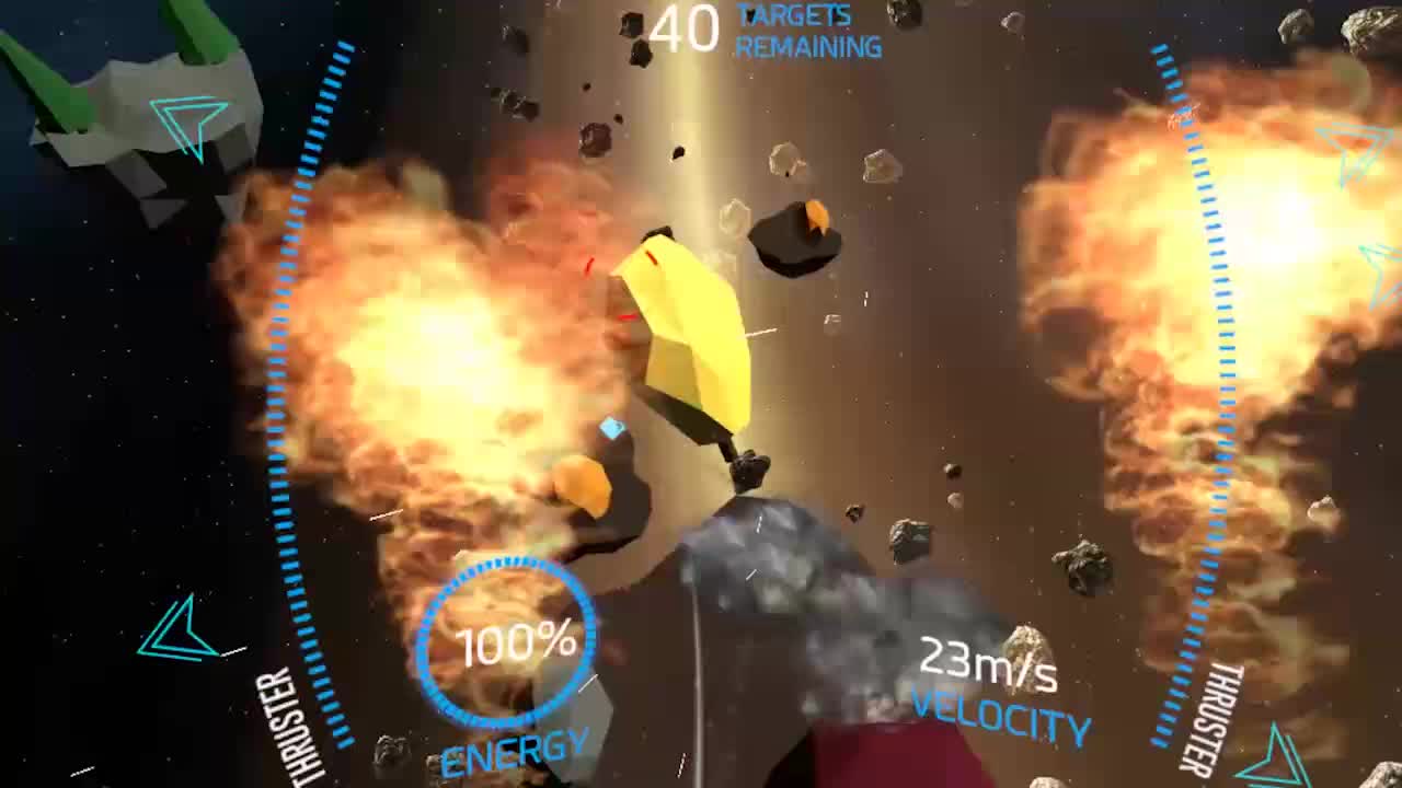
Tunnel Vision
Give the eyes a visual anchor to the real world and blur the periphery during motion, to keep simulator sickness at bay.
Make it feel alive
Physics, subtle haptics, and a spatialized soundscape — chirping birds, adaptive music — do as much for immersion as the visuals.
What we learned
Seven features in the first year, and patterns the rest of Google's VR built on.
As the product's sole designer for the first year I identified and launched seven features, including the first VR Search on Google's VR stack, later adopted by the Daydream platform, and the Street View integration. At ground level Earth's aerial 3D turned patchy and people called it a ghost town, so rather than bolt on a new interface we cast the player as Pegman: descend to street level and nearby panoramas gather as dots at your feet, while the globe in your off hand becomes a preview of the nearest one. Research caught people trying to look inside that preview, so lifting it to your head to peek in became a second way through the door.
Earth VR passed 370,000 downloads on Steam, ranked the #2 most-downloaded VR app on the platform by mid-2017, and its rating there is still Overwhelmingly Positive. The work earned nine awards — including a 2018 Webby for Best User Interface, a 2017 Cannes Lion for Innovation, a Lumiere Century Award, and Best HTC Vive Experience at the 2016 Viveys — plus patents on VR teleportation, and press was still covering the Street View integration eight years after launch.