
AR navigation · Google Maps · 2019
Live View
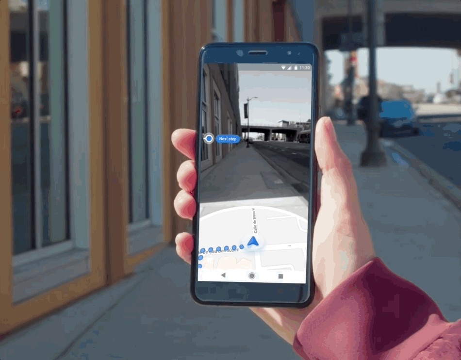
Raise the camera when you step out of the subway and see which way to walk. Live View brought AR navigation to Google Maps and grew into the design language that imagery teams across Google ship on.
Defining the problem
GPS fails exactly where walking needs it most.
Blue-dot accuracy was the number-one source of complaints in Google Maps, behind roughly 80% of user feedback. GPS depends on satellite timing that bounces off buildings, so error peaks in the dense cities where people walk, and navigation hides the problem by snapping your movement to the road network. That is why you walk a block before discovering you picked the wrong direction. Walking itself ran on a stack designed for driving that had not been updated in years.
The Visual Positioning System made a fix newly possible: match the phone camera against Street View and you recover not just position but heading. I was recruited into Maps from Google's VR team as the spatial-computing specialist to design it. My first act was killing the concept I inherited, because it was modeled on 2D driving navigation and the data underneath would have routed pedestrians into the middle of the street.
Innovation
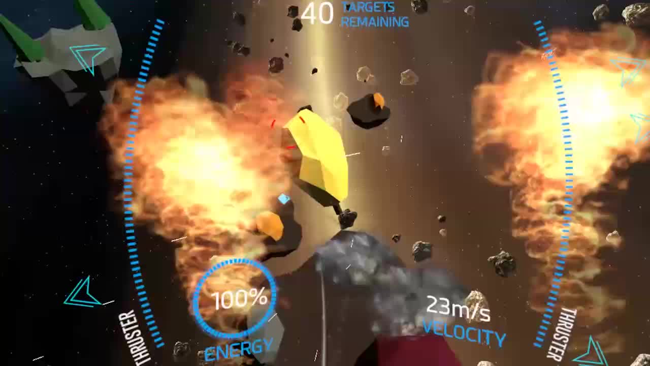
With no existing behaviors to design from, we ran build-and-test cycles against four hero moments — Orientation, Guidance, Awareness, and Arrival — producing 100+ ideas and 30+ working prototypes, each tested with progressively larger audiences from internal studies to trusted testers to public beta. The failures taught us the most. Screen-space arrows read like a mirage, and people walked past their turns. A river of particles confused testers; one called it flotsam. A guide animal tested wonderfully and was tabled for exactly that reason: with no sidewalk data it stepped into crosswalk traffic, and people felt compelled to follow it.
Stay grounded while the system catches up
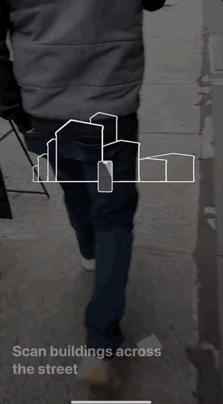
Early visual positioning took ten seconds or more with no visible progress. Scanning dots and a familiar minimap kept people in the navigation task while the camera localized.
Never assert too early
The 3D arrows placed in intersections have two states: a far state that gives direction so you start walking, animating into a full arrow only as you approach the turn.
AR in moments, not minutes
Sustained camera-up walking is not safe. The Situation Awareness Alert works like a progressive seatbelt chime, escalating from a gentle blink to a full-screen takeover.
The bet paid off in public: announced at the Google I/O 2018 keynote, Live View launched to beta in 2019 with over 4 million monthly users across 64 countries and a satisfaction rate around 69%, on par with long-established features. More than half of usage came from under-24s, against roughly 17% for Maps overall, and by 2021 it had grown 84% year over year to 11.6 million monthly users.
Scale
One feature became the design language for imagery across Google Maps.
Scaling past a single feature needed a common foundation, so in 2019 I founded the Views design system out of what the prototypes had taught us: how map pins, annotations, and interactions translate into geospatial imagery. A library that began with 21+ AR components had grown by 2026 into 27+ imagery patterns in use across seven teams at Google.
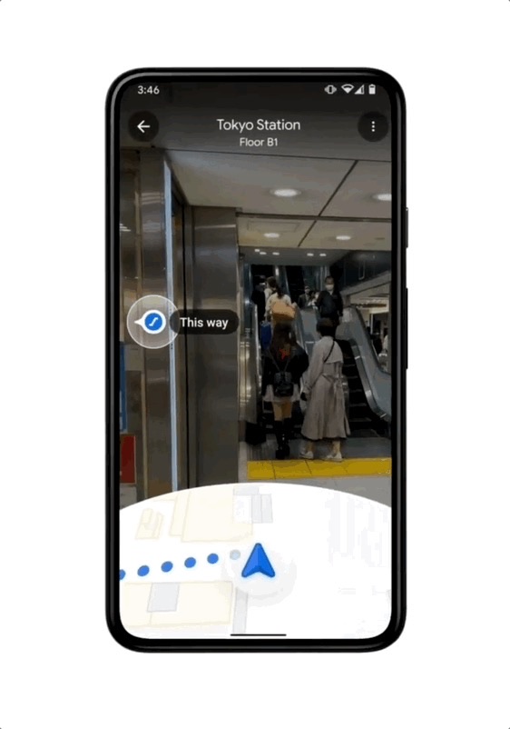
The system changed the economics of shipping. AR walking navigation took two years to launch; features built on Views launched in under a year each, with Indoor AR navigation reaching 1,000+ airports, malls, and train stations and Street View annotations bootstrapped from the same patterns. I grew the team to seven across design, UX engineering, motion, writing, and research, and we shipped 15+ first-party features on the system in five years while partners adopted it for everything from the Maps SDK to XR glasses, where I was the Maps organization's design point of contact for navigation.
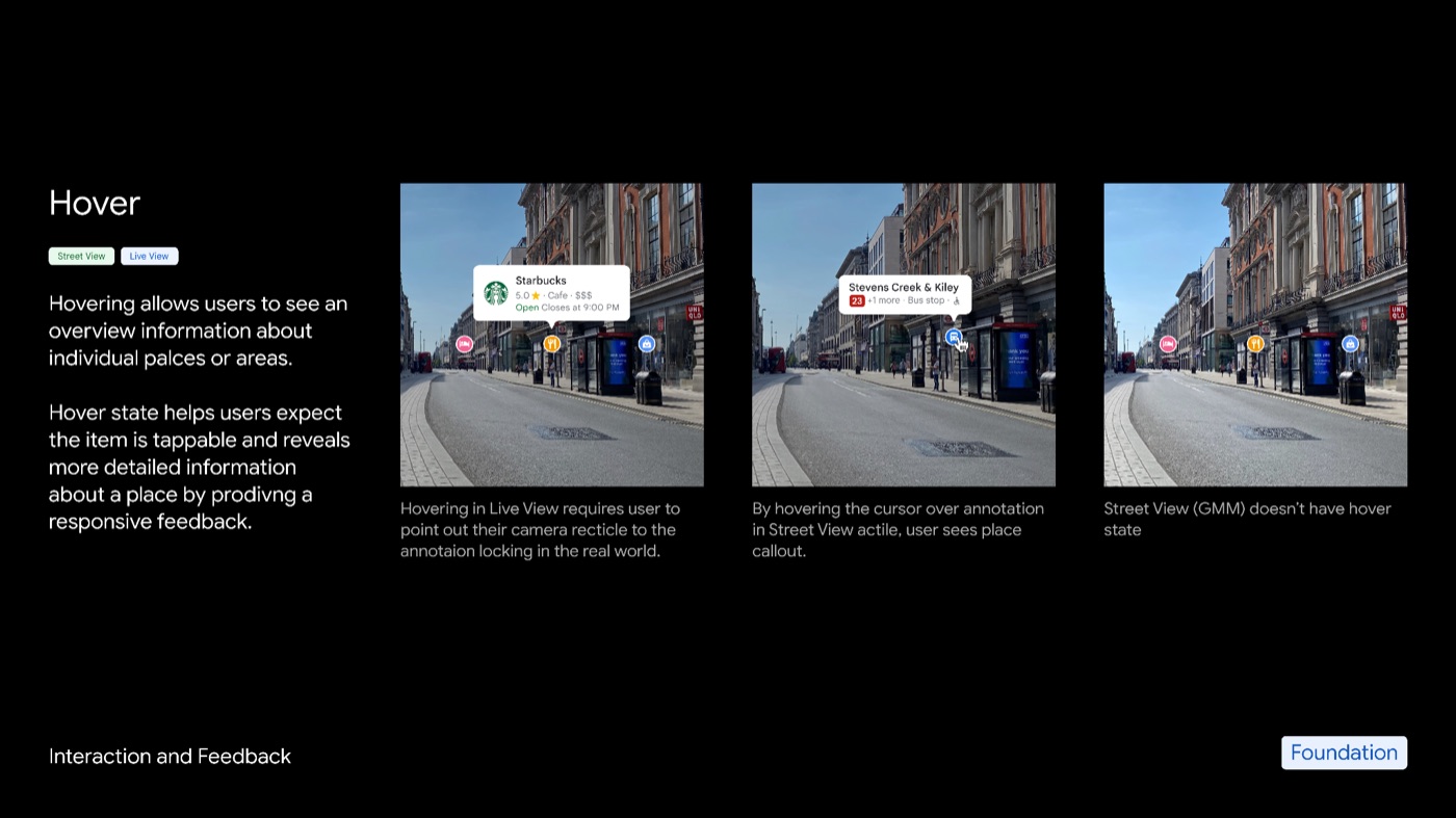
27+ imagery patterns
The system's design guidance reached seven teams by 2026, spearheading geospatial imagery development at Google.
3× team velocity
The team shipped 15+ first-party features on the system in five years.
10× partner velocity
Partner launches that once took two years shipped in under one, including Indoor AR navigation in 1,000+ airports, malls, and train stations.
Leadership
Live View shipped first; within two years its patterns were the industry standard.
Apple shipped AR walking navigation in late 2021 with onboarding that closely followed ours, Mercedes-Benz put AR navigation in cars the same year, and Baidu Maps followed with its own version. Each arrived roughly two years after Live View.
Sundar Pichai singled the work out in Wired in 2020: "AR and Maps is really in the sweet spot of that, because as humans we're walking around the world, perceiving a lot, trying to understand a lot." I coordinated with marketing to keep the work in public view, with Maps represented in nearly every Google I/O and SearchOn announcement after the 2018 keynote.
Imitated by 3 competitors
Apple, Mercedes-Benz, and Baidu each shipped their own AR navigation roughly two years after Live View.
10+ Google announcements
Maps was represented in nearly every Google I/O and SearchOn announcement after the 2018 keynote.
16 design awards
The work earned TIME Best Inventions 2021, two Webbys, and a Fast Company finalist nod, along with four patents.
What we learned
Prove the future by hand, then codify it so the organization can ship it.
Live View's arc ran from an unproven bet to a global feature to the system other teams ship on. The lesson I carry from it is sequencing: prototype until the new medium's rules are legible, ship the first proof yourself, and then turn what you learned into patterns that let everyone else move faster than you did.
That sequencing outlived the feature. The same team and system fed visual search in Lens in Maps and navigation on Android XR, and the patterns now underpin nearly every image-based geospatial feature at Google.